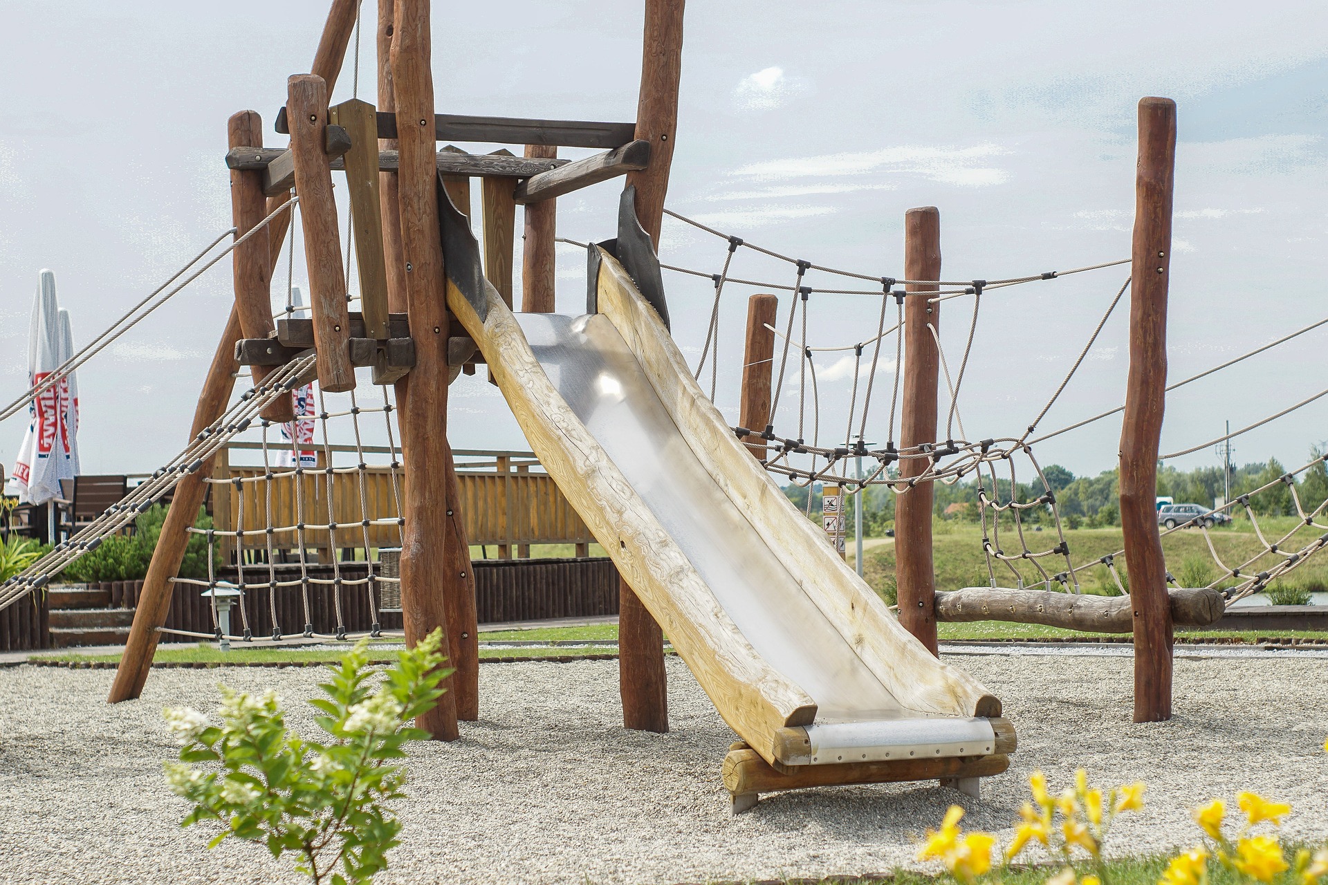

When Brighton & Hove Council were to indentify where savings in maintenance costs for their playparks could be made they hired Groundwork GDS to provide a GIS and statistical analysis. This was achieved by analysing 52 play areas under a number of criteria including the overlap in walking catchments for times of 1,5 and 15 minutes – calculated using ArcGIS Network Analyst – and ancillary data such as local deprivation and 0 – 15 year old population numbers. These criteria were weighted accordingly and each park was given a rating – these values were combined to produce a rank for each park. This allowed conclusions to be generated that both cut maintenance costs for Brighton & Hove Council and restricted closures of parks that would have large impact on local communities. This is an example where spatial analysis can help in decision making by weighting different geographic criteria agaisnt each other.
The report from the analysis can be found here.
Groundwork GDS is part of Groundwork London